My Flight to Vegas: via GeoNova
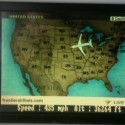
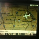
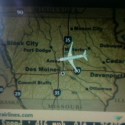
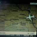
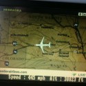
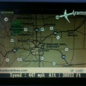
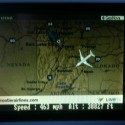
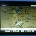
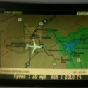
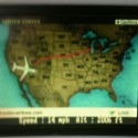
Last year I flew in my first plane that had this feature. It was a Geotracking system that let me see where I exactly was. No more guessing if I was over the Rockies, Mount Rushmore, or the Grand Canyon. No more being afraid that the plane is going the wrong direction…
Well, maybe not the last part…
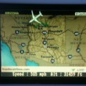
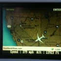
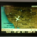
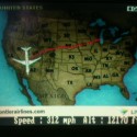
On this Frontier plane, they had little TV’s that you can watch 25 satellite channels. One channel was called GeoNova. I could track where we were specifically. Not exactly handy when over Dubuque, IA, but cool when we are going over the Rockies.
I could better gauge where I was so I knew if it was worth pulling out the laptop, or just sitting back and relaxing. The channel let me know the altitude and that we were flying at 460 mph.
Pretty cool how technology has gotten us 25 on-air channels and geo-tracking planes. Now I can sit back and watch “How to loose a guy in 10 days” on TBS, then flip and see we are in Utah.


![Showcasing-all-new-IntelliKit-image[1] IntelliKit](https://geekazine.com/wp-content/uploads/2023/12/Showcasing-all-new-IntelliKit-image1-394x330.png)
